This website is maintained by Churchstoke Community Council, through the office of the Clerk to the Council. If you would like to be considered for inclusion, or have your details amended or removed, please contact us.
Data Protection Registration Number ZA025563
Data Protection Register Entry Details | Information Commissioner's Office
The information on this website is taken by Churchstoke Community Council in good faith. Inclusion of information on the website does not imply or signify approval or recommendation by the council. The community council cannot be held responsible for failure to provide the services listed, and does not accept liability of loss or inconvenience caused as a result of error, omission, or incorrect information. Churchstoke Community Council reserves the right to refuse inclusion on the website.
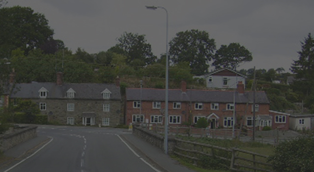
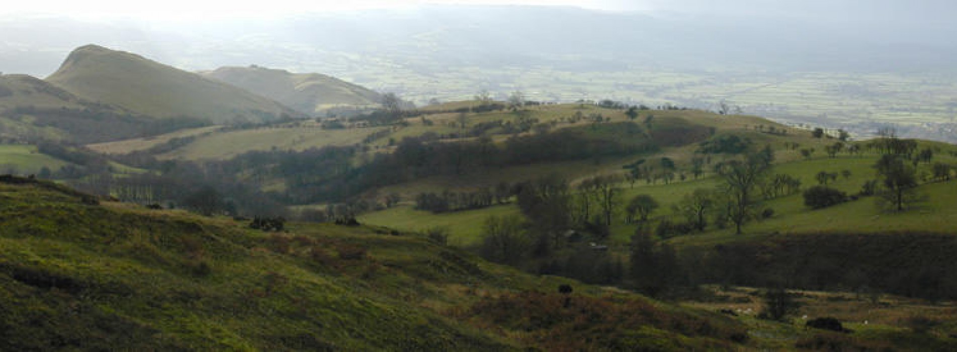
Churchstoke is a small community situated in the English - Welsh Border on one of the main gateways into Mid Wales. The Community is comprised of the villages and settlements of Churchstoke, Hyssington, White Grit, Old Churchstoke, Pentre and Snead.